


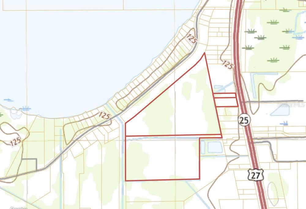
Us Highway 27, HAINES CITY, FL 33844
Contact Broker IDX Sites Inc.
Schedule A Showing
Request more information
- MLS#: L4961889 ( Land )
- Street Address: Us Highway 27
- Viewed: 8
- Price: $6,900,000
- Price sqft: $0
- Waterfront: No
- Year Built: Not Available
- Bldg sqft: 0
- Days On Market: 2
- Additional Information
- Geolocation: 28.0802 / -81.6493
- County: POLK
- City: HAINES CITY
- Zipcode: 33844
- Provided by: CROSBY & ASSOCIATES, INC.
- Contact: Lorena Alvarez Cordero
- 863-293-5600

- DMCA Notice
-
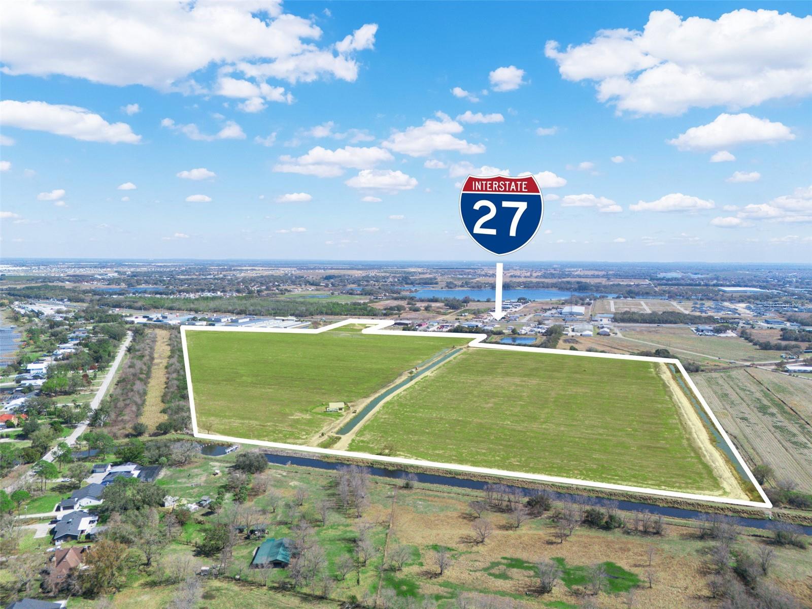
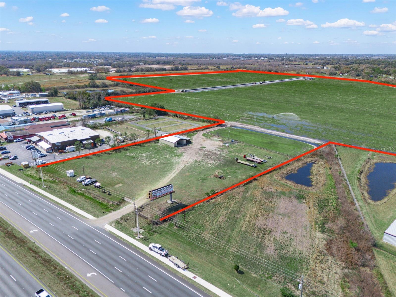
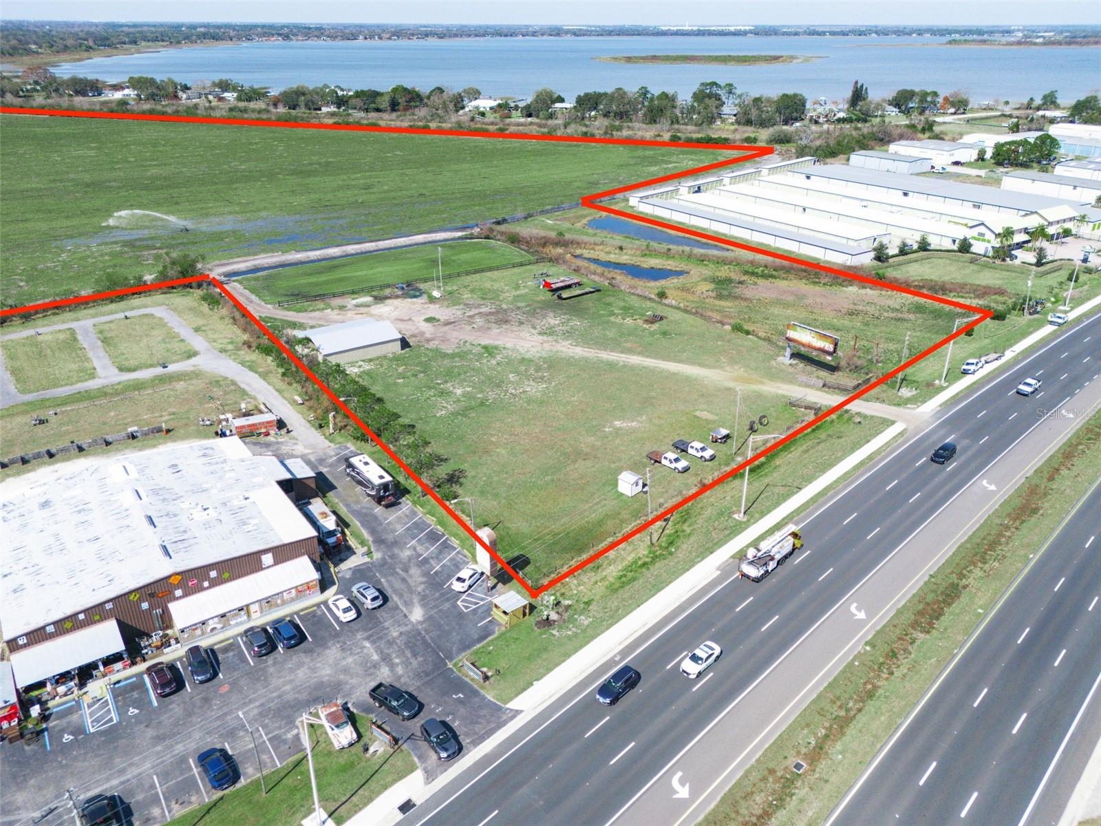
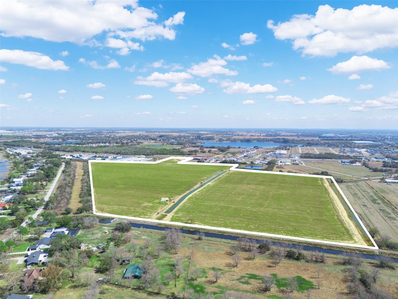
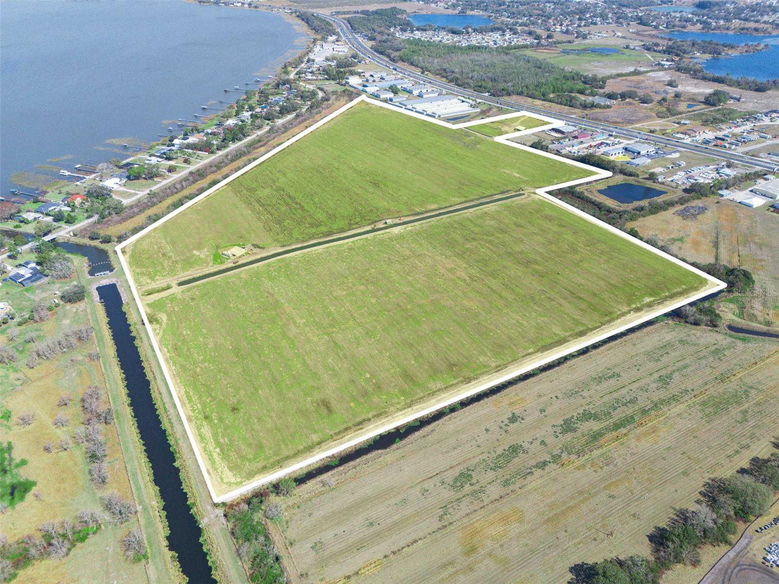
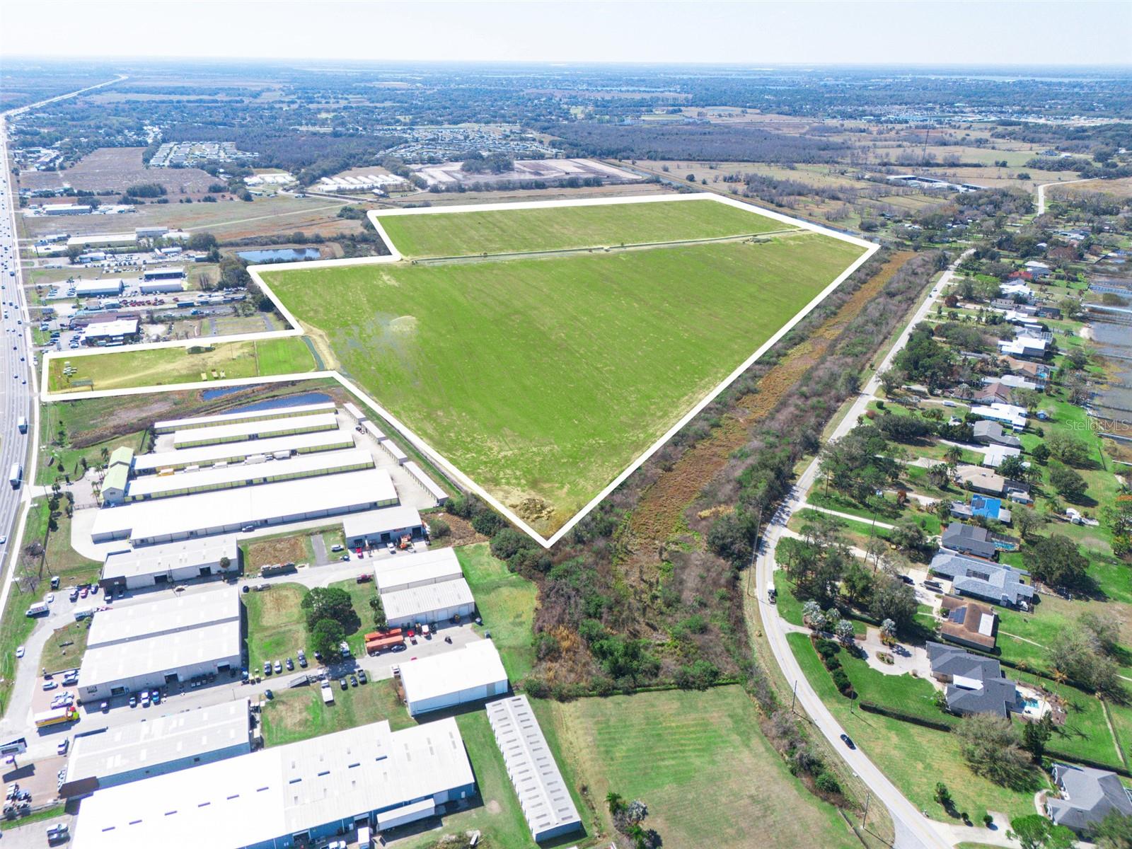
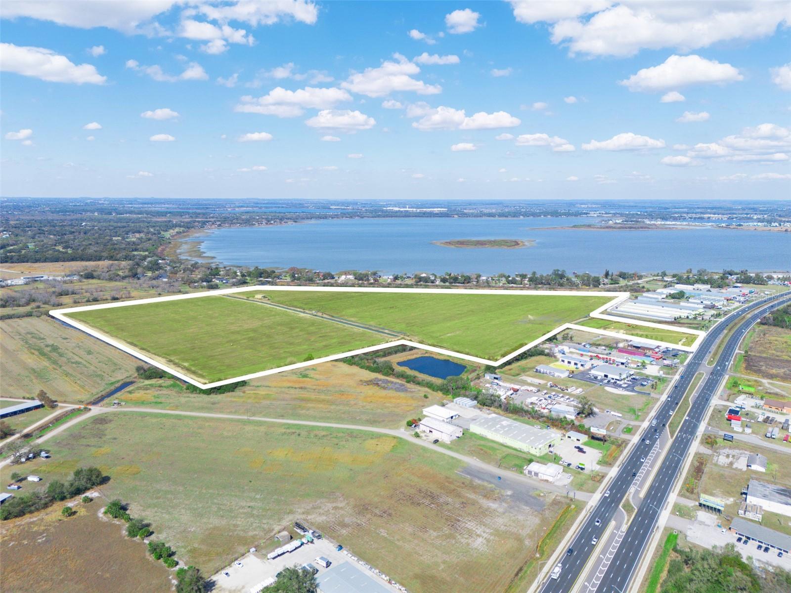
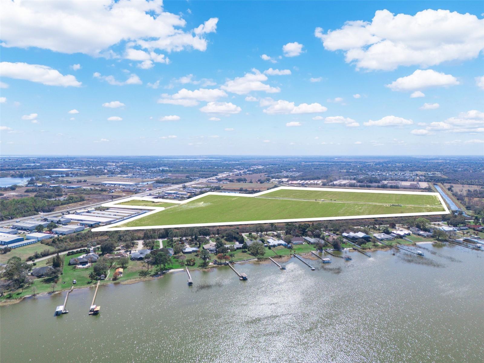
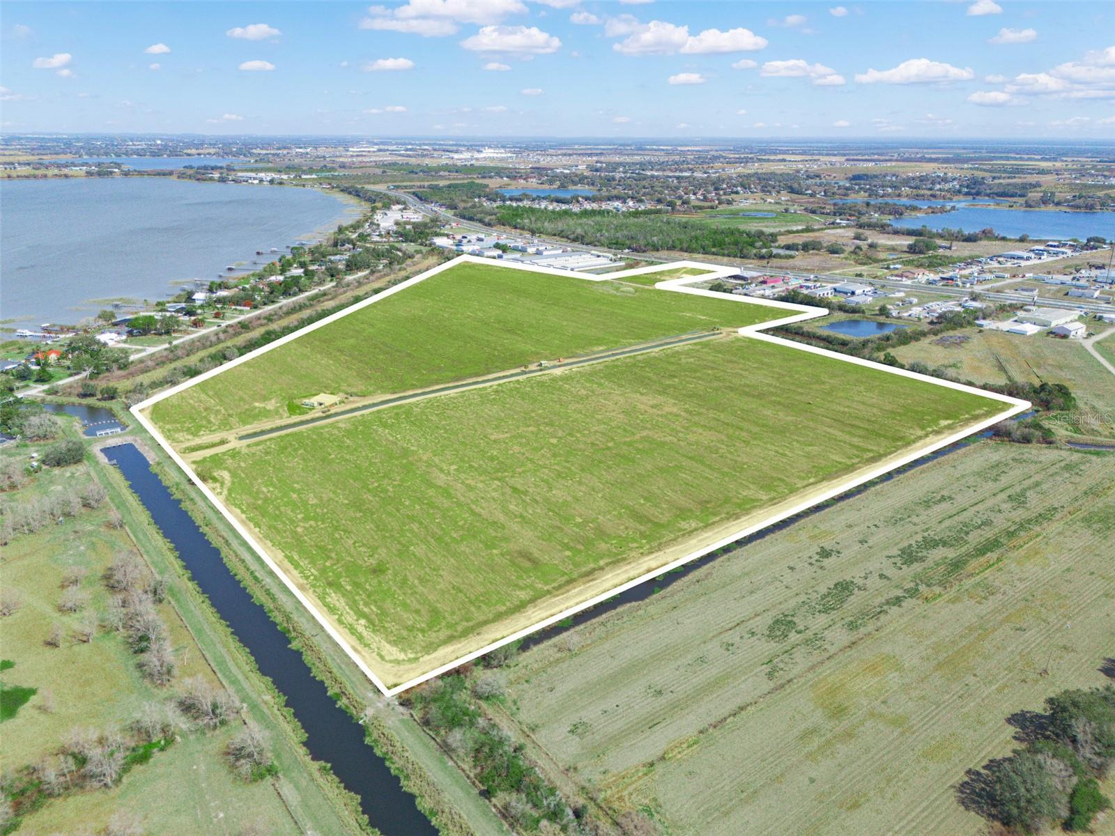
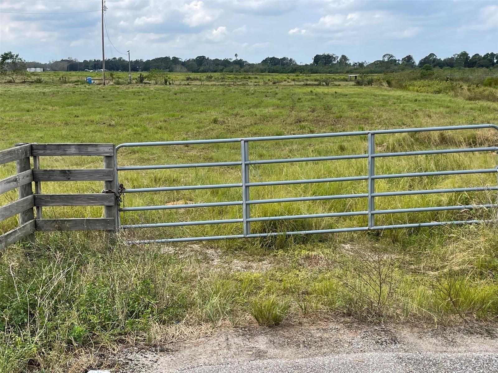
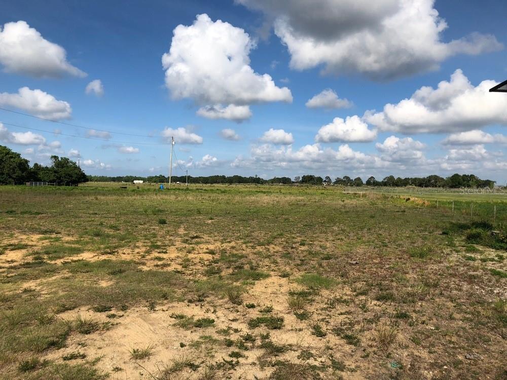
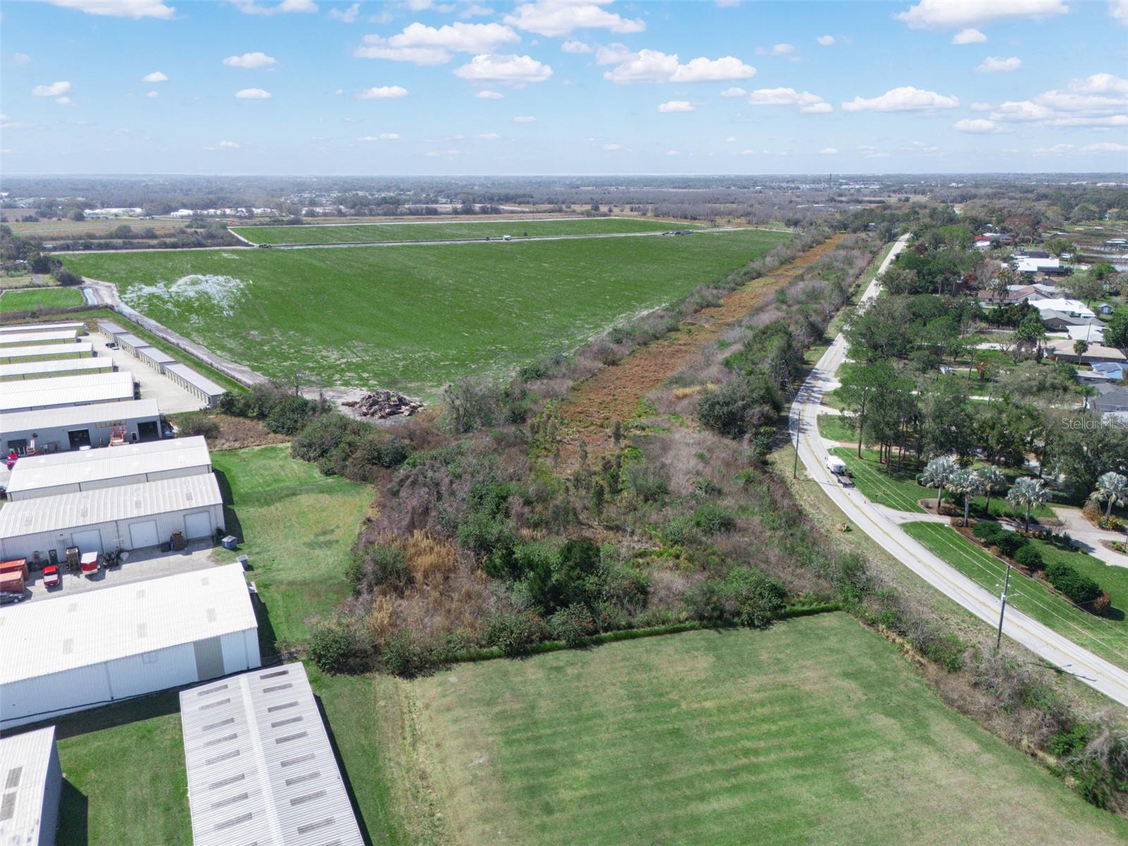
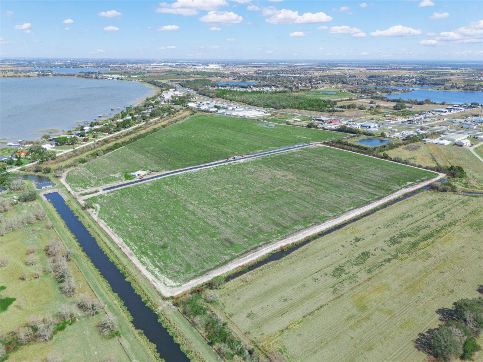
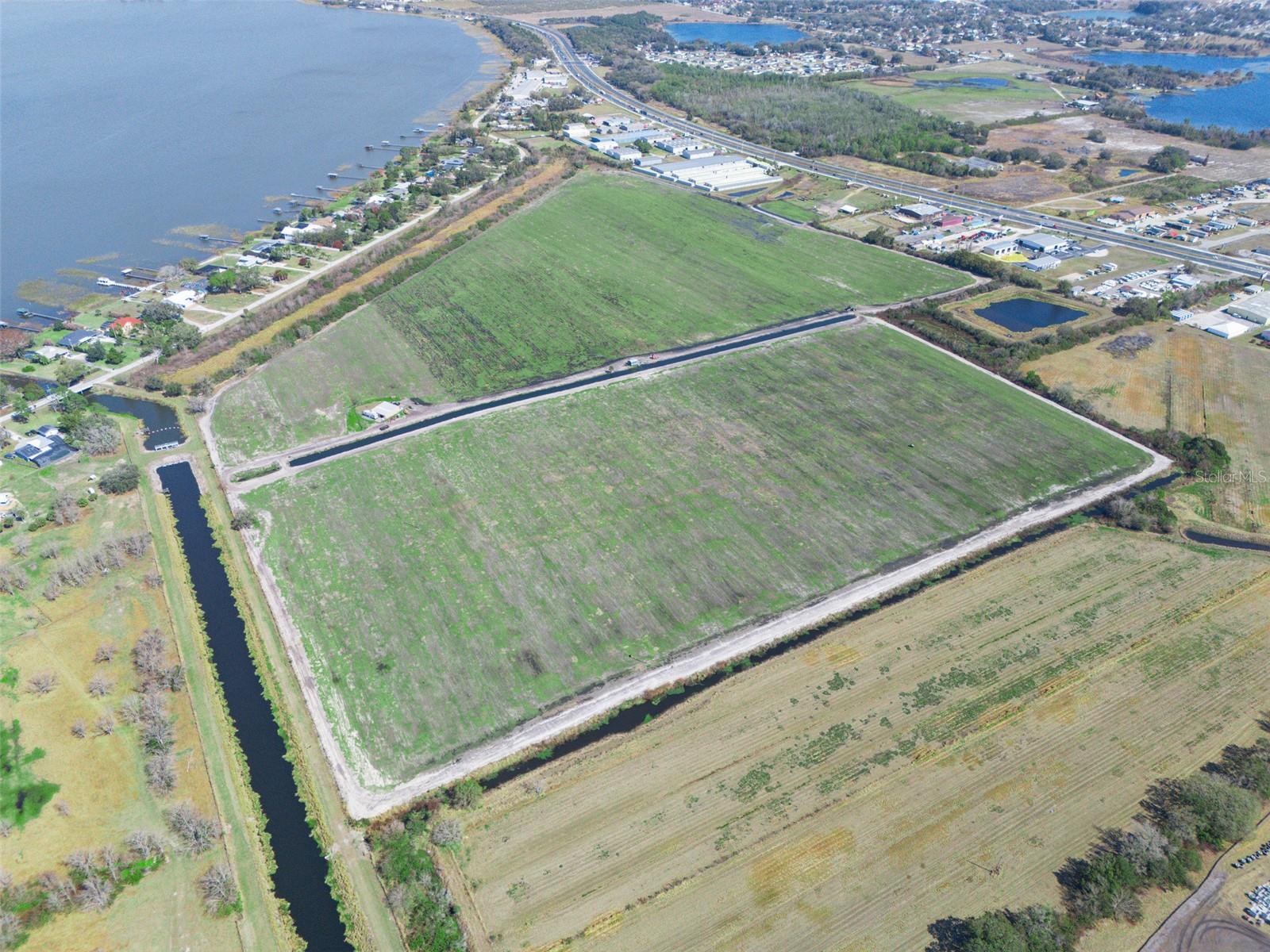
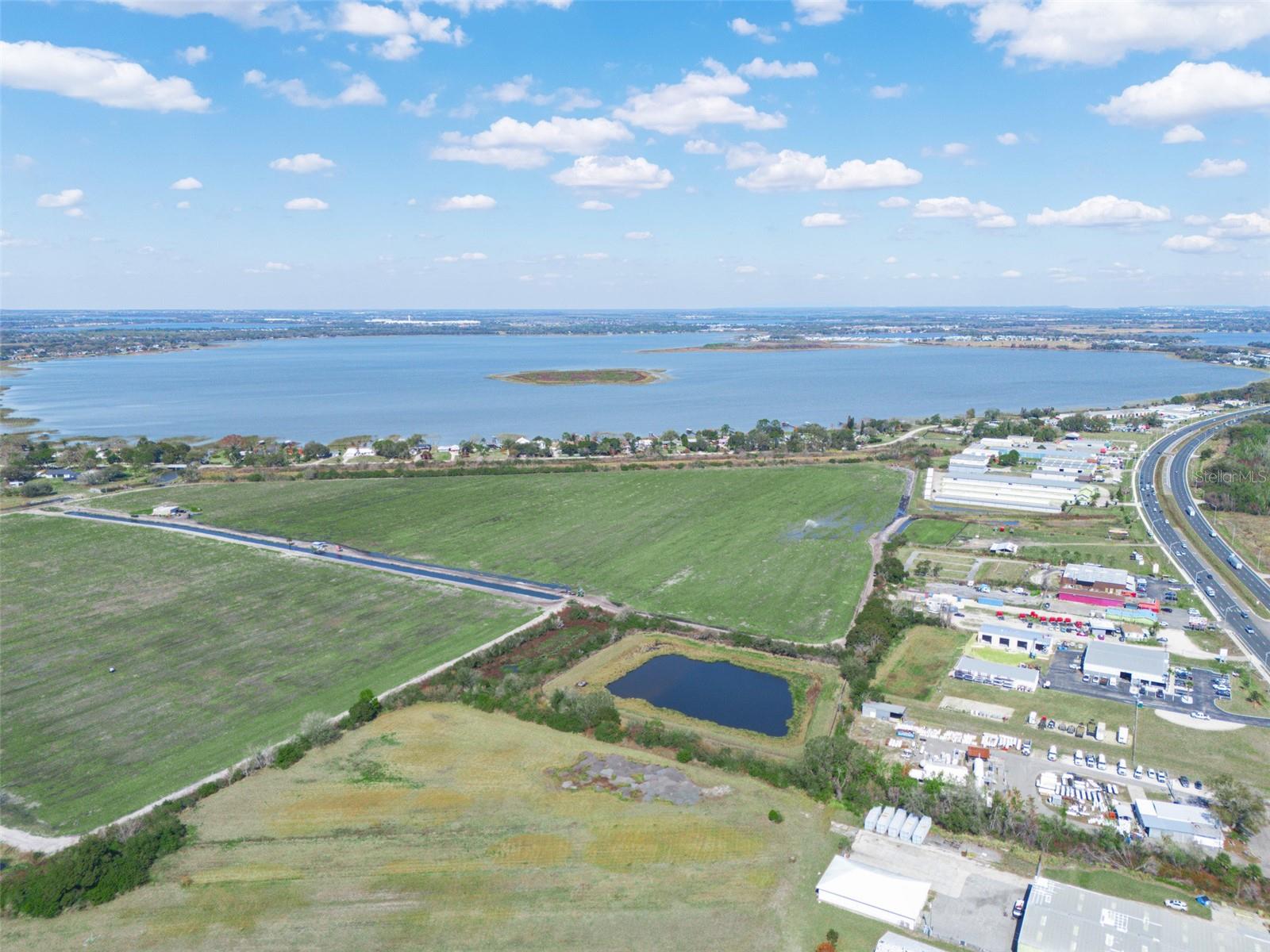
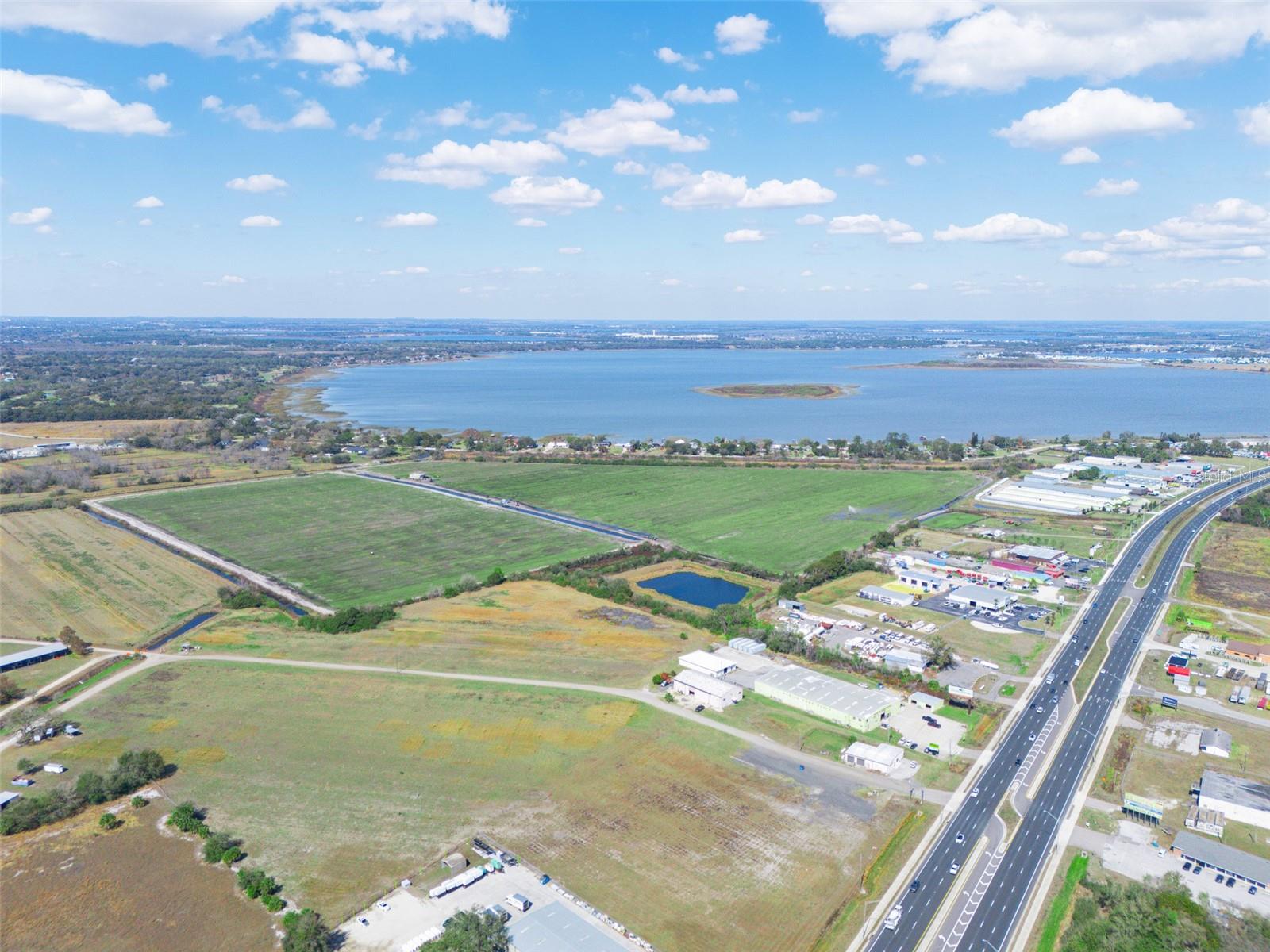
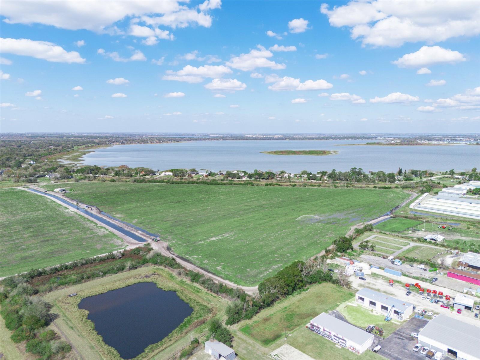
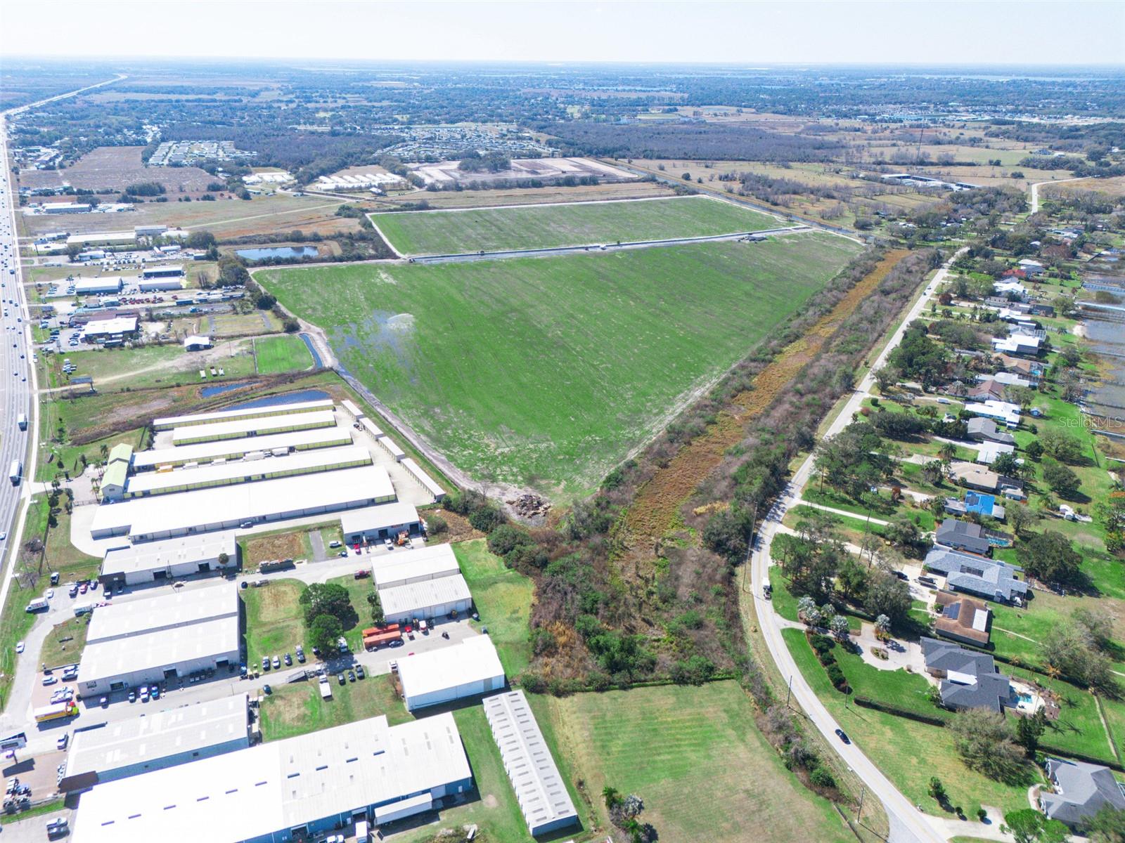
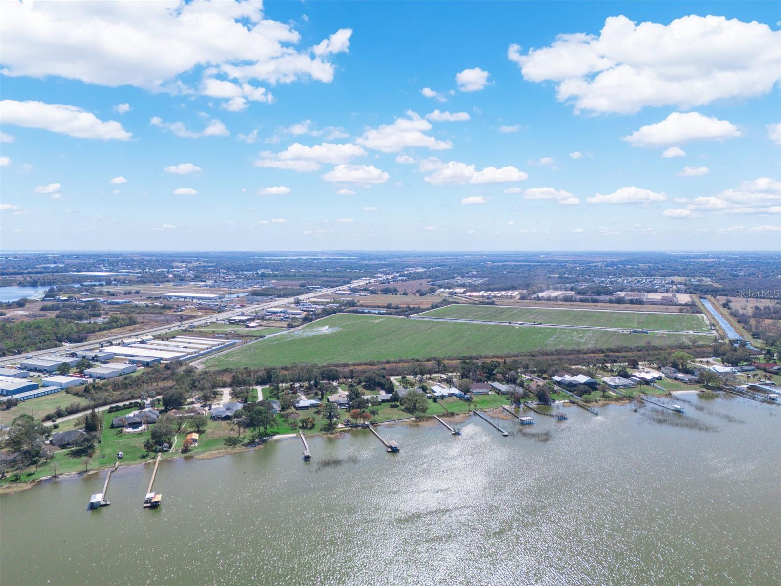
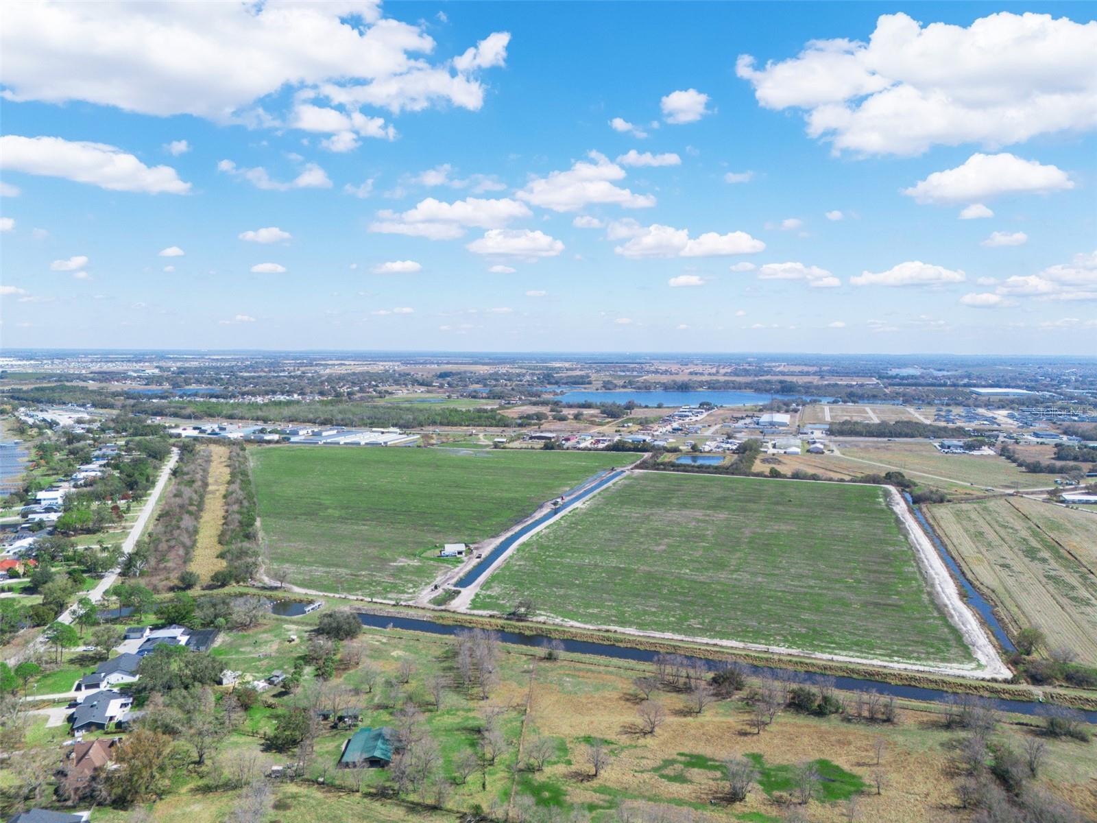
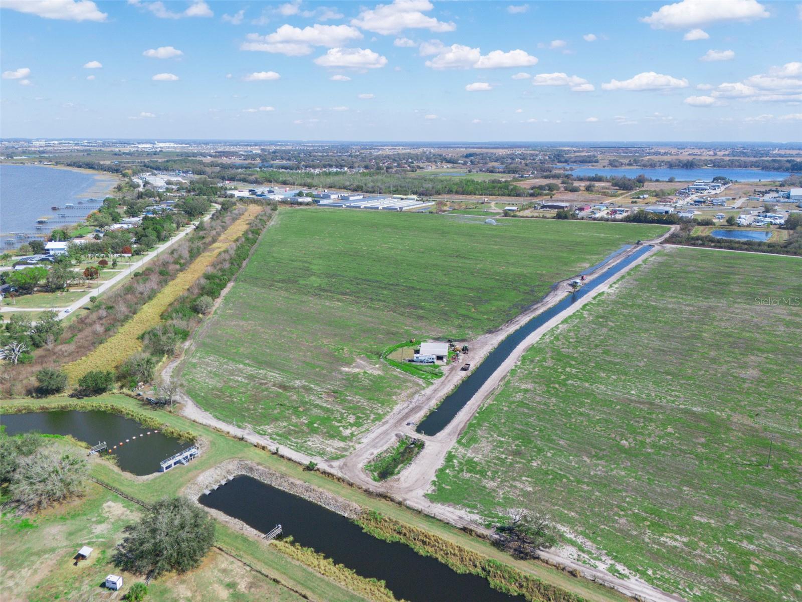
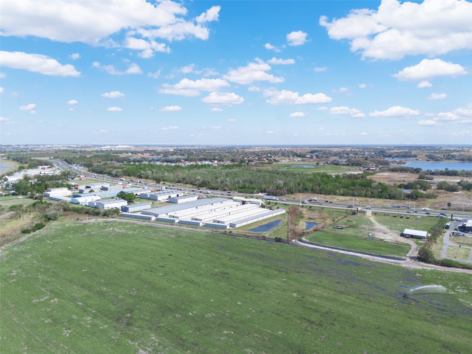
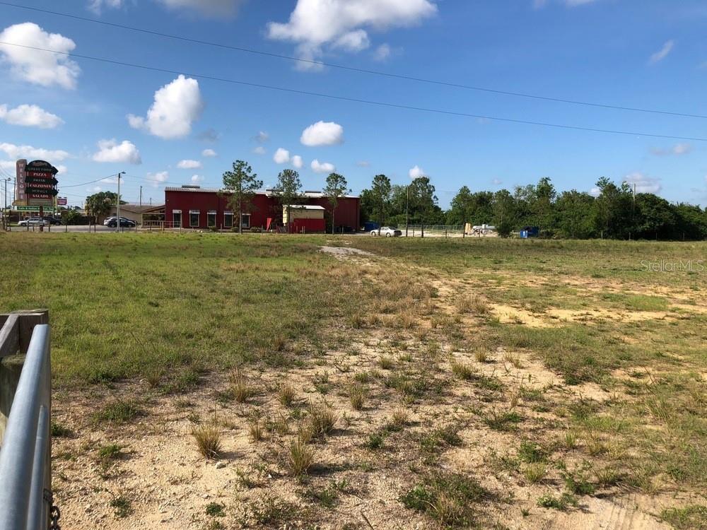
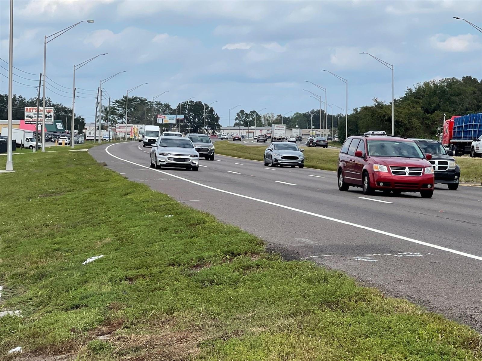
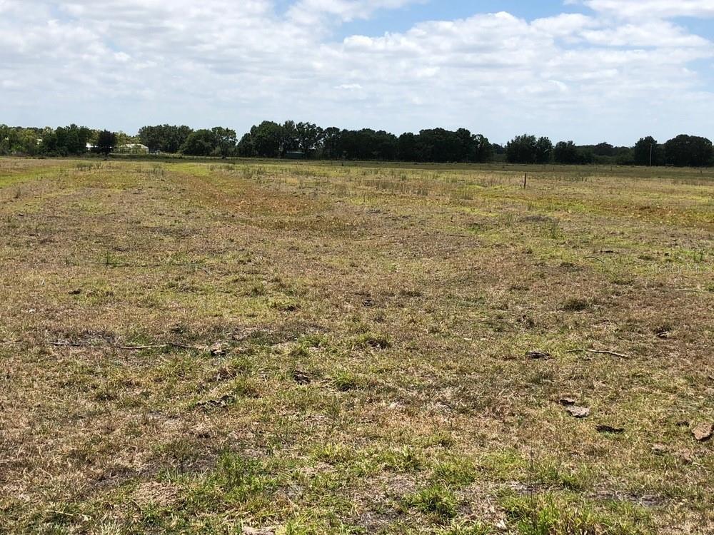
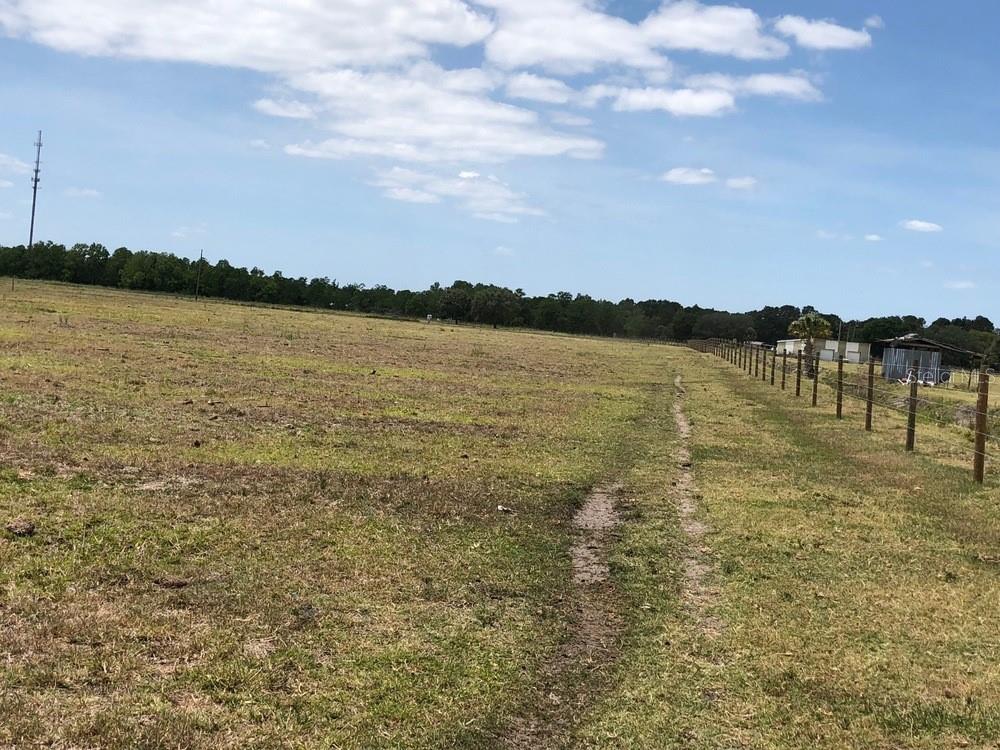
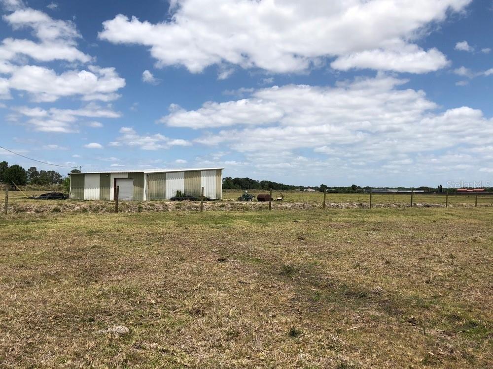
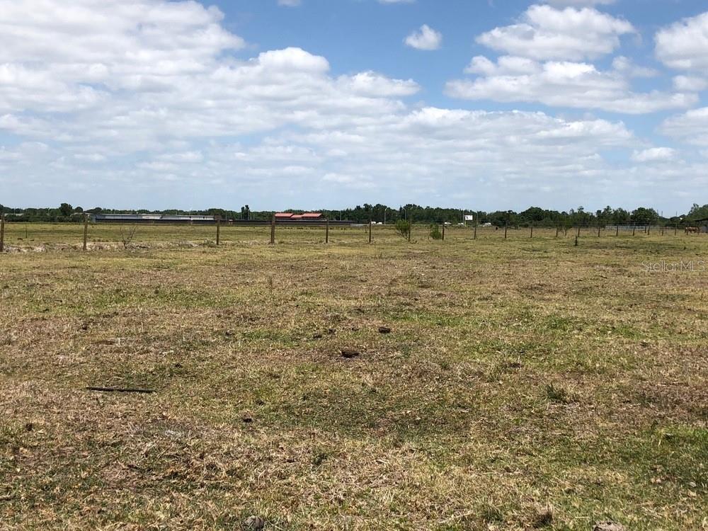
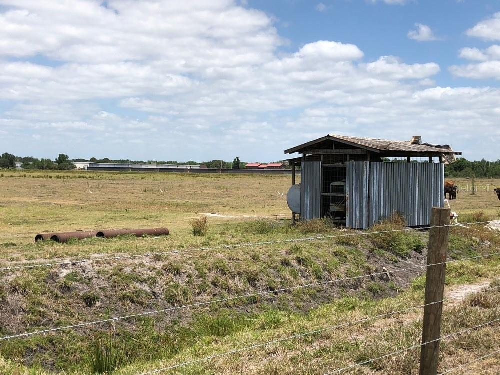
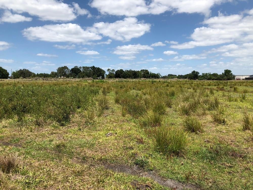
DescriptionOffered for sale is an 88.45 acre tract positioned along the Hwy 27 corridor near Dundee, Florida well suited for industrial and commercial users seeking scale, visibility, and long term flexibility. The property is currently under a sod land lease, providing interim holding income while a buyer completes due diligence, design, and entitlement work. A lease summary (term, rent, renewal options, and termination provisions) is available upon request. A key development advantage is utility proximity: water is approximately 700 LF from the site along Hwy 27 (buyer to verify capacity, pressure, and exact point of connection with the utility provider). The acreage supports a wide range of concepts including industrial flex/warehouse, phased industrial park development, contractor and service uses, distributionsupport uses, and commercial frontage opportunities, subject to zoning and approvals. The surrounding corridor continues to strengthen with new and evolving retail and service amenities, including the nearby Winn Dixie conversion to Aldi anticipated in summer 2026, reinforcing ongoing investment and daily needs convenience for the local workforce.
Property Location and Similar Properties
Features
Home Owners Association Fee
- 0.00
Carport Spaces
- 0.00
Close Date
- 0000-00-00
Country
- US
Covered Spaces
- 0.00
Current Use
- Agricultural
Garage Spaces
- 0.00
Insurance Expense
- 0.00
Legal Description
- THAT PART OF THE FOLL DESC LYING IN SW1/4 BEG SW COR OF SEC RUN E 27.98 FT N 1613.61 FT W 7.50 FT N 42.66 FT TO POB RUN N 1266 FT TO A POINT ON S-LINE OF MAGNOLIA SHORES SUB NELY ALONG CURVE 250.01 FT N 49 DEG 58 MIN E 1762.97 FT TO POINT ON CURVE NE LY ALONG CURVE 339.53 FT S 11 DEG 37 MIN E 1909.73 FT W 499.56 FT S 904.06 FT S 88 DEG 26 MIN 22 SEC W 1638.97 FT TO POB
Living Area
- 0.00
Area Major
- 33844 - Haines City/Grenelefe
Net Operating Income
- 0.00
Open Parking Spaces
- 0.00
Other Expense
- 0.00
Parcel Number
- 27-28-20-000000-041140
Property Type
- Land
Sewer
- Public Sewer
Tax Year
- 2025
Township
- 28
Utilities
- Electricity Available
- Sewer Nearby
- Water Nearby
Virtual Tour Url
- https://www.propertypanorama.com/instaview/stellar/L4961889
Water Source
- Public
Zoning Code
- RC
